A Forest in Two Parts
Most maps of Bwindi show a single continuous green shape, and it is easy to think of the park as a single, seamless forest block. The reality is more complicated. Bwindi Impenetrable National Park is divided into two primary forest blocks — a northern block and a southern block — separated by an area where the forest narrows dramatically.
The northern block encompasses the Buhoma sector, the original gorilla trekking gateway, and the Ruhija sector, the high-altitude area known for exceptional birding. The southern block contains the Nkuringo and Rushaga sectors, where the majority of Bwindi's tourism gorilla groups are now concentrated. Between these blocks, the park pinches inward, with the forest narrowing to a series of connecting corridors — known to ecologists and park managers as the necks.
This physical structure is not arbitrary. It reflects the geology and topography of the Albertine Rift escarpment, the same dramatic landscape of ridges and valleys that makes Bwindi so biologically rich. But the necks also represent a specific set of management challenges and ecological vulnerabilities that Uganda Wildlife Authority has formally identified and prioritised.
Why Connectivity Matters
Forest connectivity — the degree to which different parts of a forest are physically linked — is one of the most important determinants of long-term species survival. For mountain gorillas, connectivity enables several critical functions.
First, it allows individuals and groups to move across the full extent of their habitat in search of food. Mountain gorillas are generalist herbivores with large home ranges; a single group may cover several square kilometres in a season. If the park's two blocks are effectively isolated from each other, gorilla groups are confined to smaller ranges, which can lead to food depletion and nutritional stress, particularly during dry seasons when lower-altitude vegetation is less productive.
Second, connectivity enables genetic exchange between groups. Mountain gorillas, like all large primates, require gene flow between family groups to maintain healthy genetic diversity over generations. When young silverbacks mature and leave their natal group, they seek females from other groups. The necks are the corridors through which this dispersal and genetic exchange between the northern and southern blocks occurs. Blocking them would, over generations, produce two genetically isolated populations, each increasingly vulnerable to inbreeding depression.
Third, connectivity matters for all the other species that Bwindi protects — elephants, chimpanzees, forest antelopes, and the hundreds of bird and invertebrate species whose populations span both blocks. A park that cannot support movement between its constituent forest areas is ecologically smaller than its nominal area suggests.
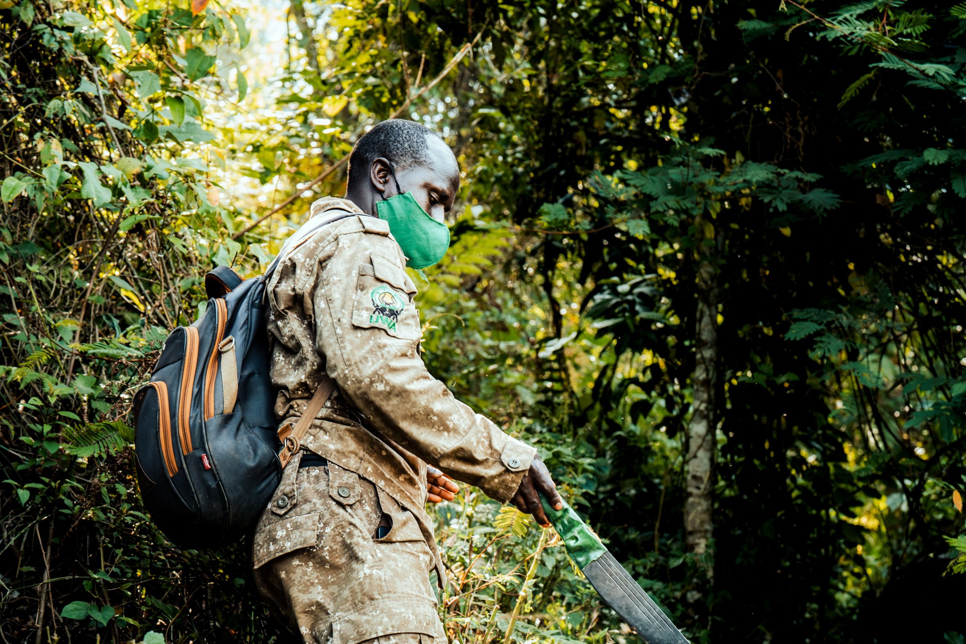
Ranger in Bwindi forest on the way to the gorillas

Preparing for the adventure: gorilla trekking in Bwindi
Mountain Gorilla Peering Through Dense Forest Foliage
Mountain GorillaThe Necks: Bottlenecks Under Pressure
The necks are where Bwindi is most vulnerable. In a forest that covers 321 square kilometres, these narrow corridors represent a disproportionate share of the park's ecological risk. The same agricultural communities, population pressures, and mining interests that press against the park's outer boundary converge on the necks with particular intensity — because land adjacent to the forest edge is sought after, and the corridors are narrow enough that even modest encroachment reduces wildlife passage.
Uganda Wildlife Authority's General Management Plan 2014–2023 devotes specific attention to boundary management at the necks. The planned actions include planting new, appropriate live boundary markers along the corridor edge; negotiating and signing boundary management agreements with communities living adjacent to the necks; acquiring land to act as a buffer area around the corridor pinch-points; and delineating administrative boundaries including for the ITFC research station in Ruhija.
One area of specific concern is the Mbwa Tract — a piece of land at a sensitive boundary point whose legal status has been contested. The GMP explicitly includes an action to initiate the process to clarify the Mbwa Tract's status and secure it against further encroachment. Unclear boundaries at transition zones like the Mbwa Tract create opportunities for incremental land conversion that is difficult to reverse once established.
Gorilla Groups and the Two Blocks
The distribution of gorilla tourism across Bwindi's two blocks reflects both the geography of the necks and the history of gorilla habituation. The Buhoma sector opened in 1993 with the Mubare group — the first habituated gorilla family in Uganda — and the northern block developed its tourism infrastructure over the following decade. Habituation in the southern block came later, with Nkuringo and subsequently Rushaga developing their visitor programmes in the 2000s.
Today the southern block, particularly Rushaga sector, holds the greatest number of tourism gorilla groups. This concentration reflects the higher gorilla density in the southern block's vegetation and the availability of suitable habituation candidates — but it also creates management challenges around visitor concentration and the cumulative impact of tourism in a smaller geographic area.
Research conducted through ITFC's long-term monitoring programme tracks the home ranges of all habituated gorilla groups. One of the formal research priorities identified in the GMP is studying how gorilla home ranges are changing over time — a question with direct implications for the necks, since shifting home ranges may bring groups into or out of the connecting corridors more frequently than in the past.
What This Means in Practice
For visitors, the two-block structure of Bwindi is most visible when travelling between sectors. The drive from Buhoma in the north to Rushaga or Nkuringo in the south takes at least 2–3 hours along mountain roads that pass through an entirely agricultural landscape — terraced hillsides, small farms, trading centres. The forest disappears entirely for stretches. This is the gap that the necks bridge: the visual proof that Bwindi is not a monolith but a mosaic, and that its integrity depends on narrow corridors of forest that are managed as carefully as its most visited sectors.
For conservationists, the necks are a reminder that protected area size on paper and functional ecological area in practice are not the same thing. A park with blocked corridors is ecologically smaller than its boundary suggests. Maintaining the necks is not a peripheral management concern at Bwindi — it is one of the core conditions for the park's long-term viability as a habitat for mountain gorillas and as a functioning Afromontane ecosystem.