How to Reach Bwindi
Road routes, domestic flights, and sector-specific access for every approach to the park.
By Road from Kampala
Bwindi Impenetrable National Park lies in the far southwest of Uganda, roughly 450 to 530 kilometres from Kampala depending on the route. The drive takes a full day, and many visitors choose to break the journey with an overnight stop. All routes begin on well-maintained tarmac highways before transitioning to unpaved murram roads for the final stretch into the park.
Route 1: Kampala – Ntungamo – Rukungiri – Kihihi – Buhoma
472 km | Fastest route to Buhoma sector
This is the most direct route to Buhoma, the original gorilla tourism hub. Take the Masaka road southwest from Kampala, continue through Mbarara and Ntungamo, then turn west through Rukungiri to Kihihi. From Kihihi, a murram road leads south into the park. The tarmac is good throughout; the unpaved section is approximately 50 km.
Route 2: Kampala – Kabale – Kanungu – Buhoma
534 km | Approximately 11 hours
A longer route that passes through Kabale, the largest town near Bwindi and a convenient overnight stop. From Kabale, head north to Kanungu and then west to Buhoma. This route also provides easy access to Lake Bunyonyi, a popular side trip.
Route 3: Queen Elizabeth NP (Mweya) – Kihihi – Buhoma
160 km | Best for safari combinations
Ideal for visitors combining Bwindi with a game drive in Queen Elizabeth National Park. The drive from the Mweya Peninsula area heads south through Kihihi to Buhoma, taking 4 to 5 hours through scenic rolling countryside and tea plantations.
Route 4: Kabale – Ruhija
95 km | Eastern sector access
The most direct route to Ruhija sector, which sits at the highest altitude (2,300 m) and is known for excellent birding. From Kabale, the road climbs through dramatic highland landscapes.
Route 5: Kabale – Nkuringo via Kisoro
105 km | Southern sector access
This route reaches Nkuringo sector via the town of Kisoro, passing close to the Virunga volcanoes. Nkuringo sits on a dramatic hillside with panoramic views across the Rift Valley. The road from Kisoro is steep and a 4WD vehicle is essential.
By Air
Domestic flights offer a faster and more comfortable alternative to the long overland drive. Several operators run daily scheduled services from Entebbe International Airport.
- Kihihi Airstrip– serves Buhoma sector. Road transfer approximately 1.5 to 2 hours.
- Kisoro Airstrip– serves Nkuringo and Rushaga sectors. Road transfer approximately 1 to 2 hours.
- Flight time from Entebbe is approximately 1 hour and 10 minutes.
- Luggage is typically limited to 15 kg in a soft bag. Check with your operator for current allowances.
Road Conditions and Driving Tips
The main highways in Uganda are generally well-maintained tarmac. However, the access roads into Bwindi are unpaved murram, and conditions vary significantly with the seasons.
- A 4WD vehicle is strongly recommended, especially during the wet seasons (March to May, October to November).
- Fuel stations become sparse after Kabale and Kihihi. Fill up at the last major town.
- Driving after dark is not recommended due to pedestrians, cyclists, and livestock on unlit roads.
- The speed limit is generally 80 km/h on highways and 50 km/h in towns, but road conditions often dictate slower travel.
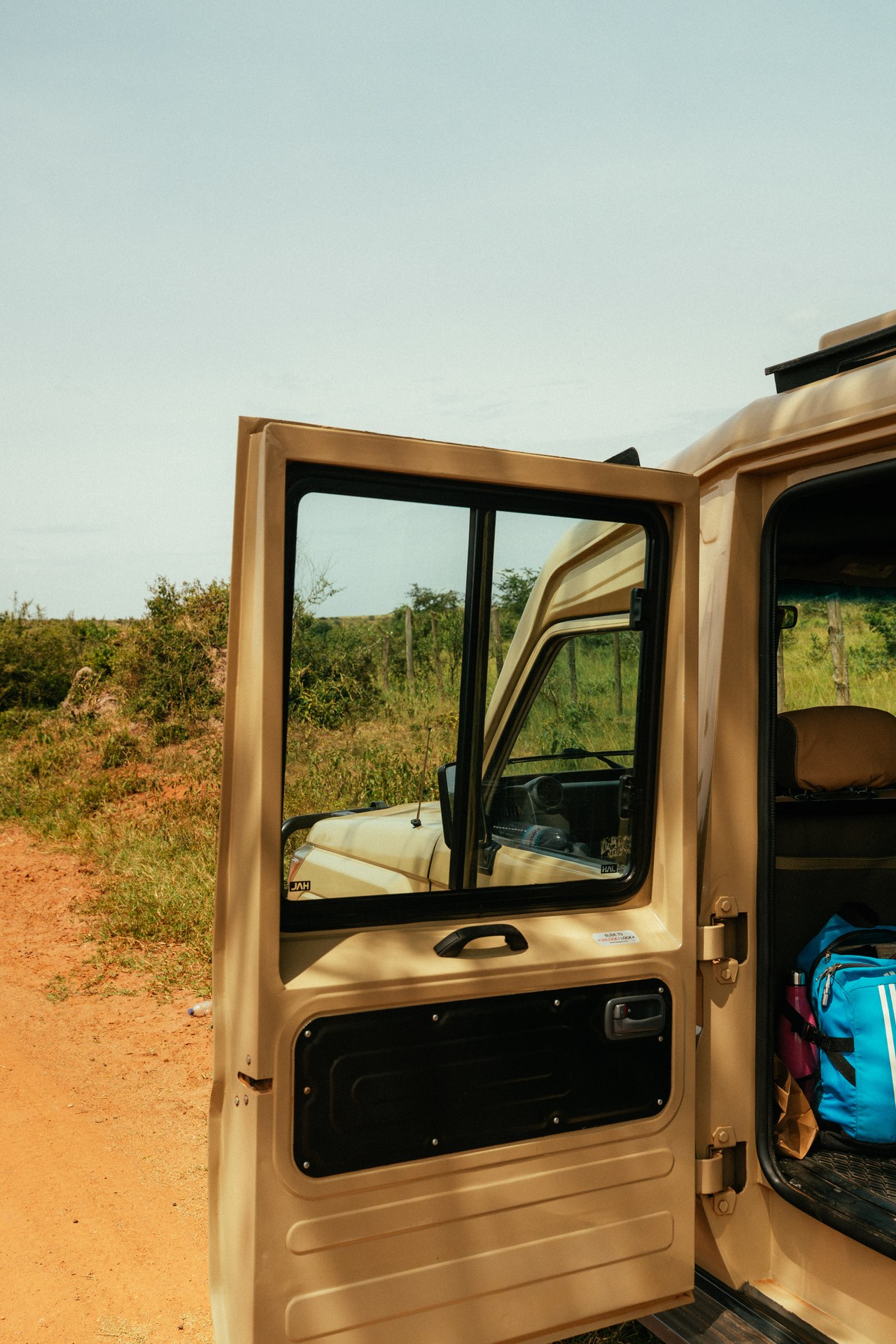
Open safari door: into the Ugandan wilderness
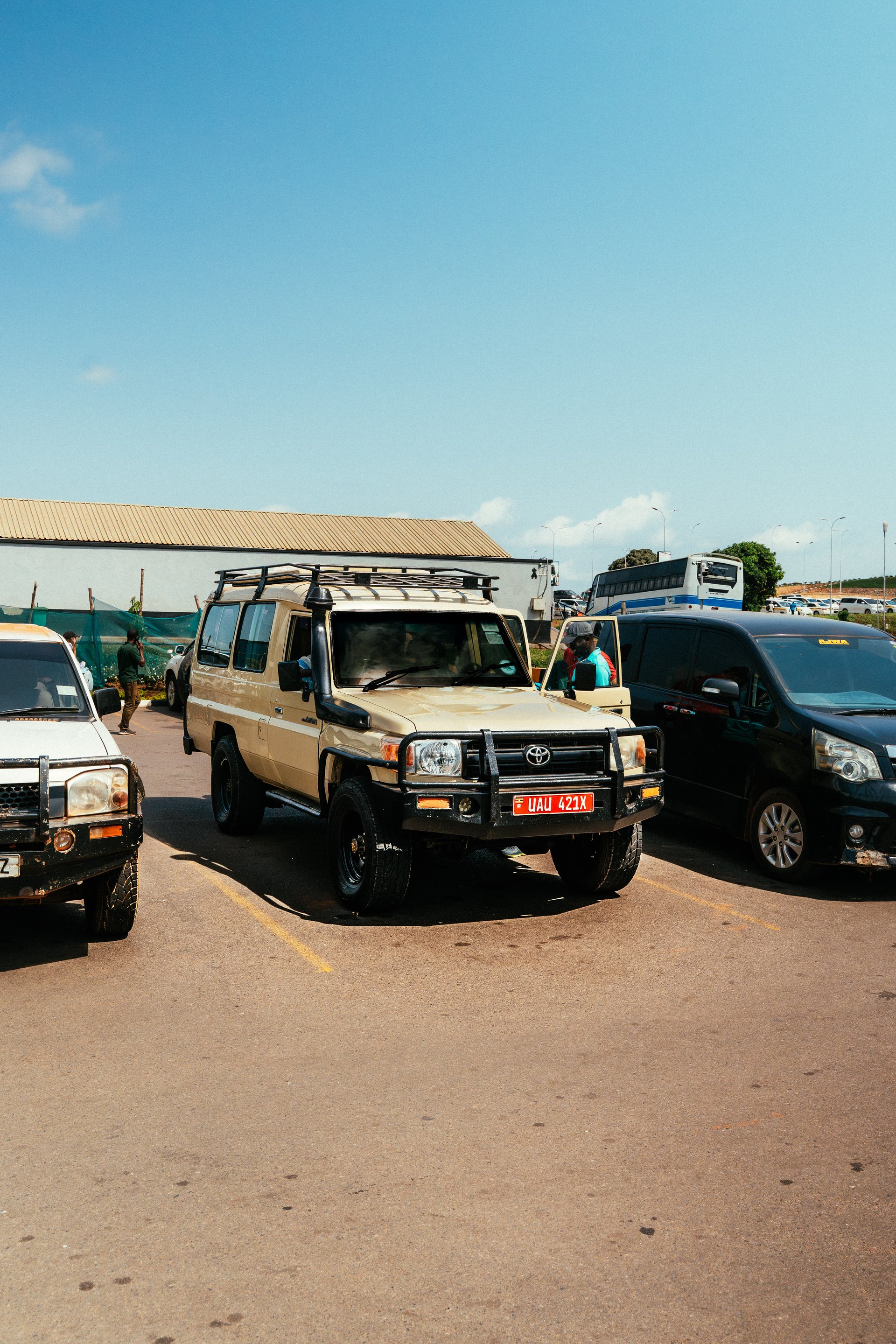
Toyota Land Cruiser Safari Vehicle Parked in Ugandan Lot
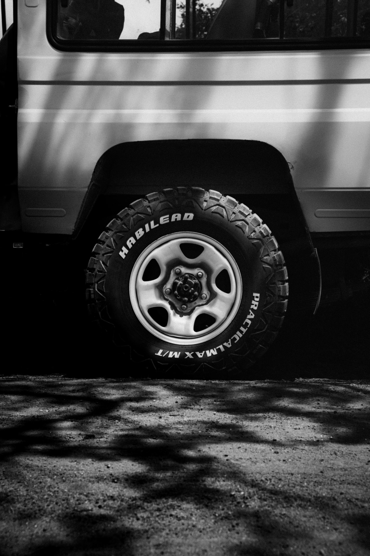
Off-road tyres in the shadow of a safari bus
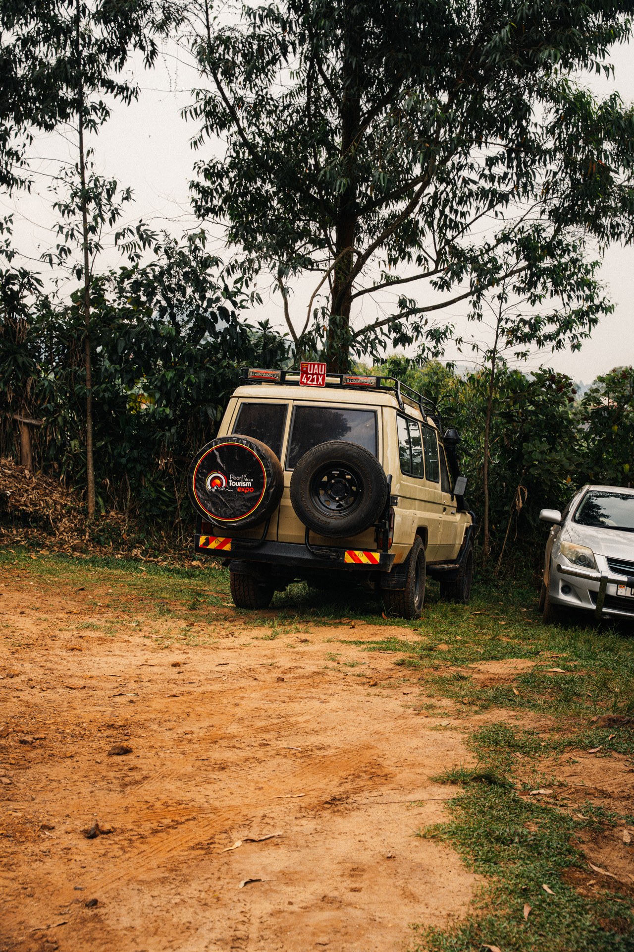
HopeBus on a sandy road in Uganda
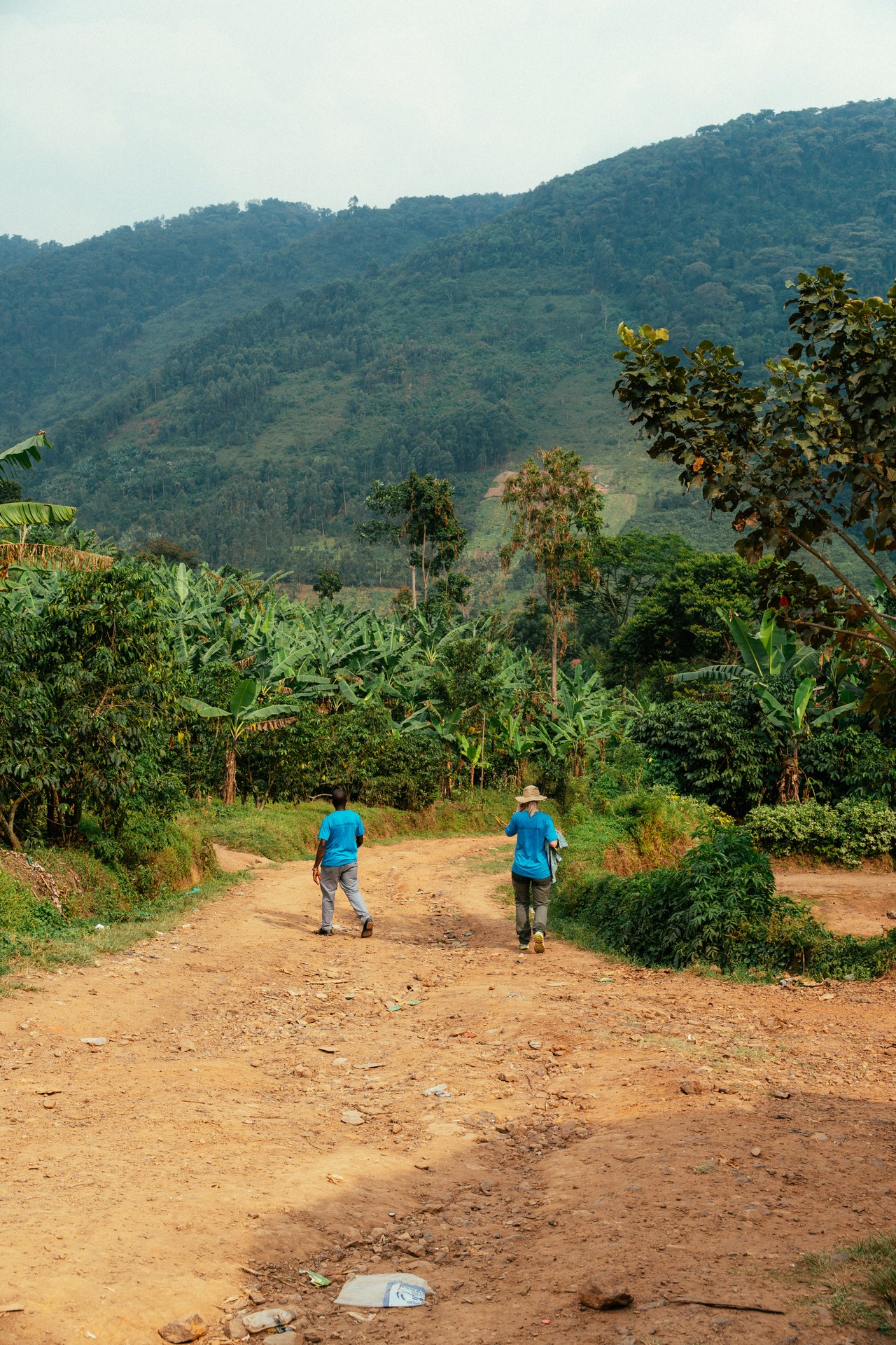
Two helpers on a dusty path through Uganda's green hills
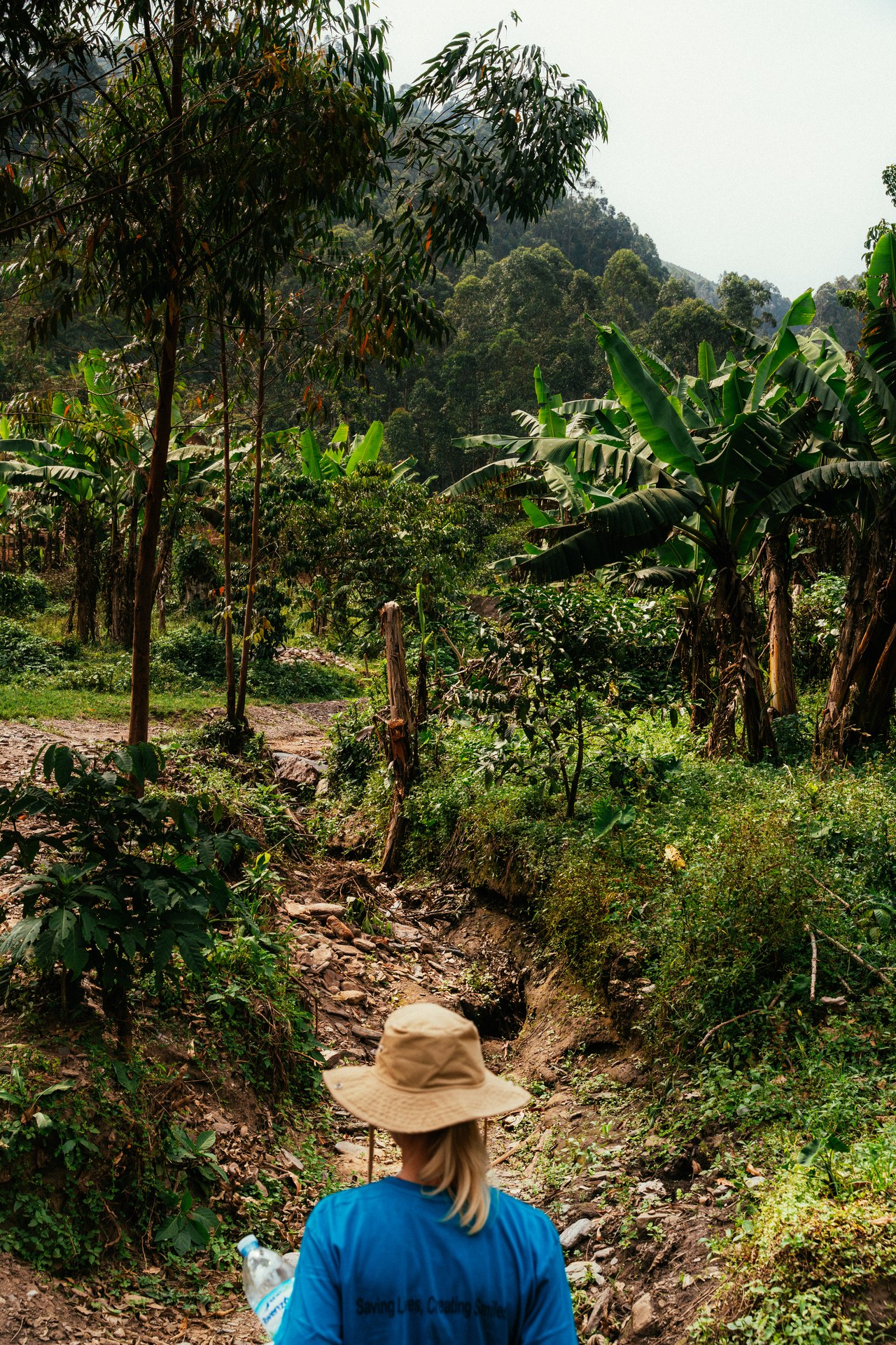
Woman on a dirt path through green Ugandan highlands