A 100 km Frontline
Bwindi Impenetrable National Park shares approximately 100 kilometres of boundary with some of the most densely populated rural land in Africa. More than 500,000 people live in the parishes directly surrounding the park, and in many places farmland presses directly against the forest edge with no buffer between cultivated fields and protected wilderness. This proximity is not incidental — it is one of the defining conditions of conservation at Bwindi.
Encroachment risk along this boundary is not a historical problem that was solved; it is a permanent management reality. Population growth in the surrounding districts increases pressure on land, and the forest offers fertile soil, timber, and other resources that remain attractive to communities with limited alternatives. The Uganda Wildlife Authority maintains a continuous boundary management programme precisely because the line between park and farmland requires active defence.
The GMP 2014–2023 explicitly acknowledges that boundary management is among the park's core operational challenges. Without clear demarcation, consistent patrolling, and community engagement, gradual encroachment — a few metres at a time — can quietly reduce the effective size of the park over years.
The Mbwa Tract: A Contested Piece of Land
The UWA General Management Plan 2014–2023 identifies Management Challenge #6 as the "unclear boundary (lack of demarcation in Mbwa Tract and Bujengwe)." The Mbwa Tract is an area where the legal status of land and the physical position of the park boundary have been disputed or ambiguous, creating a zone where neither the park nor adjacent landholders can point to an agreed, marked line.
The GMP's planned response includes a specific action to "initiate the process to reverse the status of Mbwa Tract to its former state of being private land." This language reflects a complex situation in which land was incorporated into the protected area under conditions that are now contested, and resolving it requires a deliberate legal and administrative process rather than simply planting markers.
Boundary clarity matters not because the line on a map changes the ecology of the forest, but because it determines what behaviours are legally encroachment and what recourse UWA has when the boundary is crossed. An unclear line enables gradual encroachment precisely because no single step can be unambiguously identified as a violation.
Bujengwe: Where Gorillas Range Outside
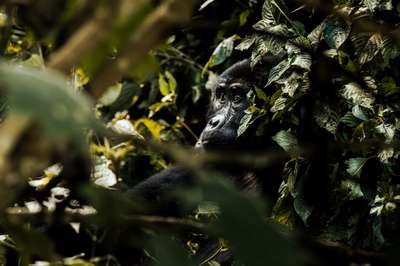
Bujengwe is identified in the GMP alongside the Mbwa Tract as an area of unclear boundary demarcation. It presents a compounded problem: an unclear boundary in an area where mountain gorillas are known to range outside the park. Gorillas follow food availability and social dynamics rather than legal lines, and where the boundary is poorly marked, their movements into surrounding farmland create immediate conflict with farmers.
The consequences of gorillas ranging outside are multiple. Crop raiding damages livelihoods and erodes community tolerance for conservation. Physical proximity between gorillas and human settlements increases the risk of disease transmission in both directions — a threat that the UWA-CTPH veterinary partnership actively monitors. The Research Action #3 in the GMP specifically calls for reviewing and implementing recommendations from the ongoing study on gorillas ranging outside the protected area.
UWA's Human-Gorilla (HuGo) conflict mitigation teams operate in areas like Bujengwe to manage interactions when gorillas leave the park. However, clearer boundary demarcation would reduce the ambiguity that enables both gorilla incursions and human encroachment — addressing the root condition rather than only its symptoms.
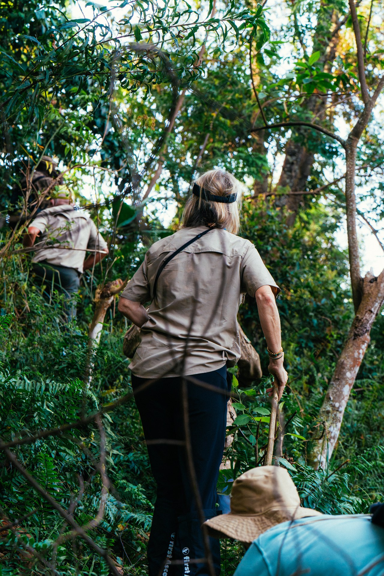
Through Bwindi forest on the trail of gorillas
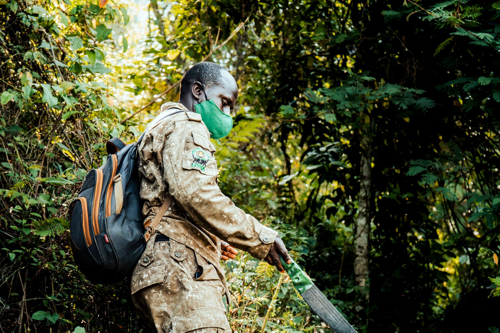
Ranger in Bwindi forest on the way to the gorillas

Preparing for the adventure: gorilla trekking in Bwindi
UWA's Boundary Management Plan
The GMP 2014–2023 outlines five concrete planned actions for boundary management. Together they form a layered strategy that combines physical demarcation, legal agreements, and land acquisition.
The first action is to plant new appropriate live boundary markers. Living trees and shrubs serve as self-renewing, visible markers that are harder to remove than concrete posts and can provide community benefits. The second action is to negotiate and sign boundary management agreements with adjacent communities, creating a formal, legally recognised shared understanding of where the boundary lies and what obligations both parties hold.
The third action addresses the park's physical geometry: Bwindi has several narrow necks — constricted corridors where the park boundary narrows significantly. Acquiring land to act as a buffer around these necks reduces the risk that the park is effectively cut in two by encroachment at its most vulnerable points. The fourth action is to delineate boundaries for the park's internal administrative zones, including the area around the Institute of Tropical Forest Conservation (ITFC) in the Ruhija sector, which operates under Mbarara University and requires clear demarcation of its footprint within the park. The fifth action is to initiate the legal process to reverse the status of the Mbwa Tract.
Live Boundary Markers: A Natural Solution
Planting living trees and shrubs as boundary markers is a more durable and cost-effective approach than maintaining concrete or wooden posts along a 100 km perimeter. Concrete posts can be removed or displaced; a row of established trees cannot be quietly shifted without obvious evidence. Living markers are also self-maintaining — they grow, fill gaps, and remain visible across all seasons without requiring replacement.
The selection of marker species matters. Where the boundary runs adjacent to community land, planting species that produce fruit or other usable products gives adjacent farmers a practical reason to maintain rather than remove the marker line. This converts a purely enforcement-oriented structure into one that delivers tangible community benefit, aligning incentives along the boundary.
Combined with tea gardens and other agricultural buffer schemes already operating in some areas around Bwindi, live markers contribute to a layered approach: a visible line, backed by a productive buffer, backed by formal agreement. Each layer reinforces the others and reduces the likelihood that any single point of failure leads to encroachment.
Community Partnerships in Boundary Security
UWA rangers patrol the boundary, but 500,000 people live along it. Communities are the most effective long-term boundary monitors available, and boundary management strategy at Bwindi increasingly recognises this reality. Formal boundary management agreements give communities a defined role in maintaining the demarcation line and a legal framework for engaging with UWA when disputes arise.
Revenue sharing programmes — in which a portion of park entry fees flows to parish-level projects — create a direct financial incentive for communities to support conservation rather than undermine it. A community that benefits from the park's existence has reason to report encroachment by outsiders, to resist pressure to convert forest-edge land to agriculture, and to cooperate with UWA on boundary demarcation activities.
The GMP's stakeholder strategy includes reactivating the annual stakeholders forum, attending district council meetings, and harmonising park management plans with local government development plans. These mechanisms ensure that boundary management is not treated as a purely technical exercise but as an ongoing negotiation between the park and the communities whose livelihoods are shaped by where the line is drawn.