Where Ntungamo Sits in the Journey
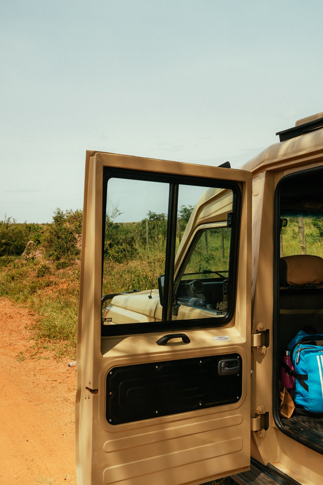
Ntungamo Municipality occupies a position that most Uganda travellers pass through rather than stop at — which is precisely why it deserves more deliberate attention. The town lies on the main road connecting Kampala to the south-western corner of Uganda, a corridor that carries an increasing volume of tourist traffic heading towards Bwindi Impenetrable National Park, the Virunga volcanoes visible from Uganda's Kisoro District, and the Rwanda border crossings at Katuna and Cyanika. For anyone making the journey to Bwindi National Parkby road, Ntungamo is not optional geography — it is the point at which the character of the landscape changes and the final hours of driving begin.
During visits to western Uganda in October 2024 and January 2026, the town appeared consistently in the rhythm of overland travel. Drivers stop for fuel here. Travellers stretch their legs at the roadside restaurants. The market beside the main road offers an unplanned introduction to how south-western Uganda's agricultural economy functions in practice — sacks of dried beans, bundles of matoke, dairy products from the cattle-keeping communities of the surrounding hills. It is not a place designed for tourism, which is part of what makes it worth a closer look.
Administrative Status and Development Direction
Ntungamo Municipality is the administrative centre of Ntungamo District, which occupies a productive stretch of south-western Uganda between the Ankole highlands and the Kigezi hills. Uganda's government has progressively upgraded urban centres to municipal status as part of a decentralisation policy designed to move administrative decision-making and service delivery closer to local populations. Ntungamo's elevation to municipal status reflects both its economic importance within the district and a recognition that growing urban populations require stronger local governance structures.
The municipality's formal development planning is built around an agro-industrialisation framework. Ntungamo District sits within one of Uganda's more productive agricultural zones: tea cultivation, dairy farming, and food crop production are all significant economic activities. The agro-industrialisation plan aims to develop processing capacity that captures value locally rather than sending raw agricultural outputs elsewhere to be processed. From a tourism perspective, this development direction has an indirect but real effect: it maintains the town as a functioning commercial centre with the services, road connections, and infrastructure that make it a viable overnight stop for visitors.
According to Uganda's national statistical abstracts, the broader south-western region of which Ntungamo forms a part has experienced consistent population growth and expanding commercial activity over the period covered by the most recent data releases. The town's role as a service hub for surrounding rural communities means that its market, health facilities, and transport connections are maintained to a standard that serves a wider population — a practical benefit for travellers whose needs in a transit stop are essentially the same as those of local residents.
The Route Logic: Why Ntungamo Matters for Bwindi Travellers
The drive from Kampala to Bwindi's Buhoma sector takes most travellers between seven and nine hours. The distance is approximately 470 km by the most direct route through Masaka and Mbarara, but the roads in the final section — from Rukungiri to Buhoma, winding up through the Kigezi hills — significantly extend travel time relative to their length. The switchback roads that drop into and climb out of river valleys in Kanungu District are not the place to be arriving after dark, tired, and without local knowledge of the road's particular hazards.
This is the practical argument for Ntungamo as a stop. Breaking the journey here leaves roughly 145 km and three hours of driving for the following morning, arriving at Bwindi rested and in daylight. The alternative — driving the full distance in a single day from Kampala — is physically possible but leaves no time for anything in Ntungamo itself, compresses the schedule, and arrives at the park in a state that does not serve the gorilla trekking experience well.
For visitors approaching the journey to Bwindifrom a Rwanda entry point, Ntungamo sits on the north side of the border corridor and can function as a departure point for a two-country itinerary. The Katuna border crossing is approximately 80 km south of Ntungamo. Travellers who have completed gorilla tracking in Rwanda's Volcanoes National Park and wish to compare it with a Bwindi experience can cross the border and reach Ntungamo the same day, staying overnight before completing the drive to Bwindi the following morning.
What the Municipality Offers in Practice
Ntungamo town is compact. The main road carries most of the commercial activity: fuel stations, banks with ATMs, mobile money agents, pharmacies, hardware shops, and restaurants. The market is active in the mornings and provides a genuine cross-section of what the surrounding agricultural district produces. For a traveller spending a single night here, the town offers more than the functional minimum without pretending to be something it is not.
Accommodation ranges from basic guesthouses catering to the town's commercial travellers to more comfortable hotels with en-suite bathrooms and generator power for periods of load-shedding. Prices are significantly lower than comparable accommodation in the national park areas. The meals available in Ntungamo's restaurants — matoke, groundnut stew, roasted chicken, rice dishes — are representative of south-western Uganda's everyday food culture rather than the adapted menus of tourist lodges. For travellers who want to eat as Ugandans eat, Ntungamo provides a more authentic experience than Bwindi's lodge dining rooms, which tend to cater to international preferences.
The mobile network in Ntungamo is functional across multiple operators. Data connectivity is adequate for messaging and light browsing, though video calls are unreliable. This matters for travellers who need to confirm bookings, check road conditions ahead, or communicate with lodges in the park. The final section of road between Ntungamo and Bwindi passes through areas with patchy connectivity, so Ntungamo is the last reliable place to handle administrative communications before arriving at the park.
[QUOTE: local guide on first impressions of Ntungamo as a transit point]
Regional Context: Ntungamo within Western Uganda's Tourism Geography
Western Uganda's tourism geography is built around a series of national parks connected by a road network that has improved substantially over the past two decades but still demands careful planning. Queen Elizabeth National Park, roughly 130 km north-west of Ntungamo, is one of Uganda's most visited parks for big-game viewing. Lake Mburo National Park, approximately 90 km to the east, is frequently included in itineraries that combine eastern and western Uganda. Bwindi lies to the south-west. Ntungamo sits at a point where routes to all of these converge, and understanding this is useful for anyone designing a multi-park itinerary.
The western Uganda attractions corridor, of which Bwindi is the most internationally recognised element, generates a substantial proportion of Uganda's tourism revenue. This revenue flows through towns like Ntungamo in the form of transport expenditure, fuel purchases, and overnight stays, even if the town is not itself a tourist attraction in the conventional sense. The economic relationship between transit towns and park-based tourism is one that Uganda's development planners have been increasingly attentive to. Investing in the quality of services along routes to the parks — including accommodation, road maintenance, and fuel availability — directly affects the visitor experience even for guests who spend only a single night in transit.
For travellers reading about Bwindi for the first time, it is worth understanding that the logistical planning required to reach Bwindi Impenetrable National Parkis itself part of the Uganda experience. This is not a country where the airport delivers you to the park gate within an hour. The landscape between Kampala and Bwindi — the flat Masaka corridor, the Ankole cattle country around Mbarara, the tea plantations south of Ntungamo, the dramatic Kigezi hills — is worth paying attention to, not enduring. Ntungamo, in this reading, is not an inconvenience on the way to the gorillas. It is a place that tells you something about how western Uganda works, what it produces, and how its people live.
The road south-west from Ntungamo passes through landscapes that change character rapidly. Cattle country gives way to tea cultivation, then to the tighter, steeper valleys of the Kigezi region. The altitude rises. The temperature drops. By the time a traveller reaches Kanungu, the town that serves as the last significant stop before the final ascent to Bwindi, the air feels different and the anticipation of the forest is palpable. None of that transition is possible to appreciate from the window of an aircraft or a pre-packaged lodge transfer. It requires the road, and the road requires towns like Ntungamo to make it navigable.