Uganda's national parks do not exist in isolation. Each one sits within a web of roads, community land, forest reserves, and administrative boundaries that determines how easily visitors can reach it, how wildlife moves between protected areas, and how lodges and camps are positioned within the landscape. Understanding this spatial dimension — how the country is organised for wildlife management and tourism — makes the difference between a trip that feels coherent and one that involves unnecessary backtracking, missed connections, or unrealistic timings.
Uganda's Six Wildlife Zones: A Framework for the Landscape
Uganda divides its territory into six wildlife management zones: Sango Bay in the far south-west, Kafu in the central north, Muzizi in the west, Aswa covering the northern region, Central encompassing the country's interior, and Kyoga in the east around the shallow lake of the same name. These zones are not simply administrative labels — they represent the spatial scaffolding within which Uganda Wildlife Authority coordinates ranger deployment, research programmes, anti-poaching operations, and tourism development across a country of roughly 241,000 km².
Each zone contains a cluster of protected areas with varying levels of designation and visitor access. National parks carry the highest legal protection and the most developed tourism infrastructure. Game reserves and community wildlife areas occupy the next tier, where human settlement and resource use are managed rather than excluded. Central Forest Reserves, managed separately by the National Forestry Authority, fill large parts of the map between the parks and are important both for biodiversity and as movement corridors for wildlife.
For a traveller planning a route, the zone system helps explain why certain combinations of parks are natural to visit together and others require significant detours. Bwindi Impenetrable National Park sits at the southern edge of the Muzizi zone, where it meets the Sango Bay zone and the Rwandan border. Kibale, Queen Elizabeth, and the Rwenzori Mountains all fall within the same western corridor. The Murchison Falls area, Budongo Forest, and the Kafu region form a northern cluster. Kidepo Valley National Park, in the far north-east, sits in the Aswa zone and requires a dedicated trip rather than a circuit combination.
The Road Network and What It Means for Safari Planning
The route from Kampala to Bwindi covers approximately 510 km and takes between eight and ten hours under normal conditions, depending on which sector of Bwindi is the destination. The most common approach runs south from Kampala on the Masaka Road, then south-west through Mbarara, and from there via Kabale to Buhoma in the north, or via Kanungu and Kihihi to Rushaga and Nkuringo in the south. Both branches involve paved main roads for most of the distance, with unpaved final approaches that require a 4WD vehicle.
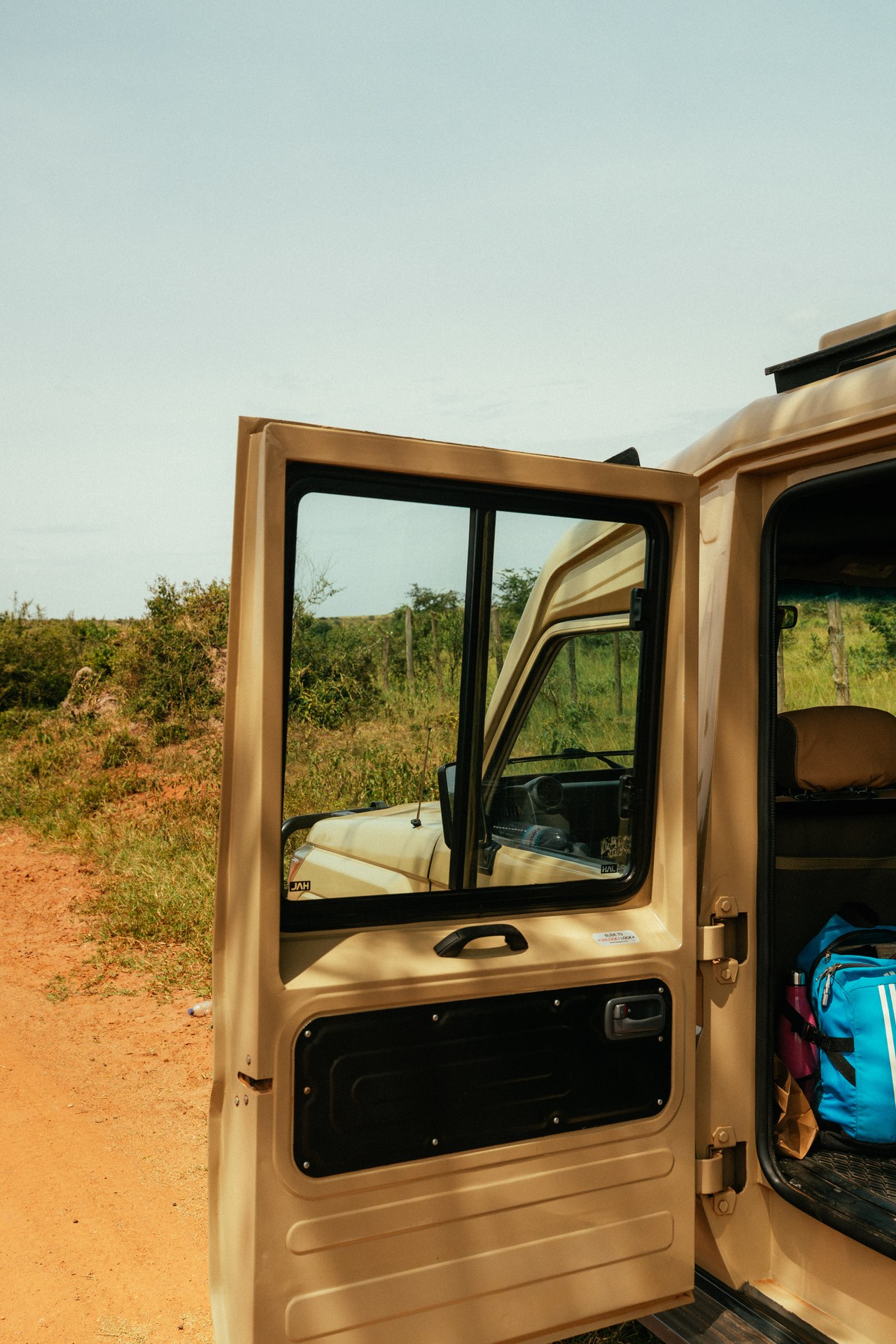
On drives through this corridor in May 2026, the contrast between the tarmac sections and the final unpaved kilometres was marked. The road into Buhoma from the Bwindi junction descends steeply through community land and forest edge, and its surface depends heavily on recent rainfall. In the dry season it is passable in most vehicles; after sustained rain, sections become deeply rutted and require ground clearance and low-range gearing. This is not a cosmetic inconvenience — it is a genuine logistical constraint that affects arrival times, the choice of vehicle, and whether scheduled airport transfers are realistic.
The western circuit — Fort Portal, Kibale, Queen Elizabeth, Bwindi — is the most travelled safari route in Uganda, and its road quality reflects that. The Fort Portal to Kasese tarmac road is in reliable condition. The track into Kibale's Kanyanchu Visitor Centre is short and manageable. The Kasese to Ishasha route follows the Albertine Rift floor on a partly sealed road that crosses the Kazinga Channel at Katunguru. From Ishasha to Bwindi via Kihihi is unpaved but compact, running through tea estates and small trading centres before climbing into the highlands. A journey from Kampala to Bwindi via the full western circuit, without rushing, typically takes four to seven days.
Wildlife Corridors and the Consequences of Infrastructure Expansion
The spatial relationship between Uganda's parks is not only a matter of road distances. It also concerns the biological connections between protected areas — the corridors through which elephants, chimpanzees, and other wide-ranging species move between forest blocks. These corridors are under pressure from multiple directions: agricultural expansion, settlement growth, and, increasingly, tourism infrastructure.
The corridors linking Budongo and Bugoma forests in north-western Uganda, and those connecting Kibale and Bwindi in the south-west, have been identified as areas where tourism development has contributed to habitat disturbance. Road upgrades, lodge construction, and the clearing of vegetation for access tracks all fragment forest continuity. When a movement corridor is broken, animal populations on either side lose the ability to interbreed, find seasonal food resources, or disperse. Over decades, isolated populations face elevated extinction risk. This is not a hypothetical concern — population declines in chimpanzee groups in the Kibale corridor area have been linked in part to corridor degradation.
Uganda Wildlife Authority now requires environmental impact assessments for new tourism developments within and adjacent to protected areas. These assessments are intended to identify corridor risks before construction begins, though enforcement capacity and the quality of assessments vary across the country. The principle — that tourism infrastructure must be planned with corridor integrity in mind — is now embedded in national conservation policy, even if its application is uneven.
The Park Boundary: Where Wilderness Meets Cultivated Land
One of the most instructive spatial realities of Uganda's national parks is the sharpness of the boundary between protected forest and cultivated land. At Bwindi, the transition from dense montane forest to tea plots, banana gardens, and small homesteads can happen within a few metres of the park edge. This juxtaposition is not accidental — it reflects decades of human settlement around the park perimeter and the fact that the forest contains resources that local communities have used for generations.
Between 2020 and 2025, Uganda Wildlife Authority recorded between 20 and 60 incidents of non-timber forest product extraction per year within Bwindi Impenetrable National Park. These incidents — involving firewood collection, medicinal plant harvesting, and small-scale bamboo cutting — reflect the continued pressure on the park boundary from surrounding communities. Uganda Wildlife Authority channels a portion of park revenue directly to community development projects in buffer zone parishes, a mechanism designed to build local support for conservation and reduce incentive for illegal resource extraction.
At Mgahinga Gorilla National Park, the boundary management challenge is handled partly through a physical structure: a 16 km stone wall maintained by Uganda Wildlife Authority along the park's lower perimeter. The wall reduces crop raiding by gorillas and buffaloes, which has historically been one of the main sources of conflict between the park and neighbouring farming communities. For visitors approaching Mgahinga from Kisoro, the wall is visible along parts of the boundary road and offers a tangible illustration of the spatial tensions that underpin conservation in a densely populated landscape.
The park edge is also where some of Uganda's rarest plant species persist. Rotheca violacea subsp. kigeziensis, a flowering plant classified as globally Critically Endangered, is endemic to the Kibale Forest and to Mulole Hill near Bwindi Impenetrable National Park. Its survival depends on the integrity of forest patches immediately adjacent to — and sometimes just outside — the formal park boundary. Spatial planning decisions that affect these edge habitats have direct consequences for such species.
Lake Victoria, Kampala, and the Eastern Approach to Tourism
Most international visitors to Uganda arrive at Entebbe International Airport on the northern shore of Lake Victoria, approximately 40 km from Kampala. The spatial logic of the country's tourism flows starts here: Entebbe and Kampala are the gateway through which nearly all visitors pass before dispersing to the parks. The distance from this eastern entry point to Bwindi in the far south-west — Uganda's most visited gorilla destination — is approximately 510 km by road, making it one of the longer domestic journeys on a Uganda safari.
Lake Victoria, the largest lake in Africa and the world's second-largest freshwater lake, is an economic and ecological anchor for the eastern part of Uganda. Its shoreline supports major fishing industries and is the geographical context within which Kampala developed as a city. Tourism planners have identified the lake as an underutilised asset: proposals for up to 20 dedicated landing sites along Uganda's portion of the lake shore are intended to develop water transport links and lakeside tourism that currently lags far behind the park-based sector. The Ssese Islands, accessible by ferry from Nakiwogo near Entebbe, offer forested islands with beach accommodation and are frequently recommended as an add-on before or after a western circuit safari.
During a January 2026 research visit through Kampala on the way to Bwindi, the volume of road traffic between Kampala and Masaka was a reminder of how central the main western highway is not only for tourism but for general freight and commerce across the country. The road carries everything from fuel tankers to overloaded matatus, and travel times can vary significantly depending on the time of day and whether any accidents or roadworks slow the single-lane sections. Overnight travel between Kampala and the parks is not recommended for safety reasons; most operators schedule early departures to allow daylight driving throughout.
Planning a Spatially Coherent Uganda Itinerary
The most common planning mistake for Uganda safaris is treating each national park as an isolated destination and underestimating travel times between them. A spatially coherent itinerary works with the country's geography rather than against it. The western circuit — Kibale, Queen Elizabeth, Bwindi — flows naturally because the parks are connected by road and cover complementary habitats within the same Albertine Rift corridor. Adding Murchison Falls to the same trip requires a full day of driving northward and back, which is feasible on a ten-day trip but tight on seven days. Kidepo Valley National Park, in the far north-east, is a genuinely separate destination that works best as a charter flight extension rather than a road add-on to a western Uganda trip.
Gorilla trekking at Bwindi requires a confirmed Uganda Wildlife Authority permit ($800 per person in 2026), which must be booked well in advance — especially for the peak periods of December to January and June to August. The permit is tied to a specific sector and date, which means the spatial planning of a trip must anchor around the Bwindi visit and work outward from it. If the permit is for Buhoma in the north, the approach from Queen Elizabeth via Kanungu and the road through Buhoma is the logical line. If the permit is for Rushaga or Nkuringo in the south, the routing via Kabale or Kisoro is more direct.
Internal charter flights operated by Aerolink Uganda and other carriers shorten some of these distances significantly. The flight from Entebbe to Kihihi airstrip near Bwindi takes around 90 minutes versus an eight-to-ten-hour road journey. The flight from Entebbe to Pakuba airstrip in Murchison Falls NP removes a full day of driving. These options change the spatial calculus for premium itineraries: it becomes feasible to combine Bwindi, Queen Elizabeth, and Murchison Falls in ten days without spending three of those days on a bus. For budget travellers or those who value the overland journey as part of the experience, the road remains the default, and the rewards — local markets, roadside landscapes, the gradual shift in altitude and vegetation — are considerable.
[QUOTE: local guide on the difference between driving and flying into Bwindi, and what the overland approach shows you that the flight does not]
Uganda's tourism geography is ultimately shaped by the same forces that shaped its conservation geography: the Albertine Rift running north to south through the west, concentrating rainfall, altitude, and biodiversity; the flat eastern plateau draining into Lake Victoria and the Nile; and the north, progressively drier, with its own savanna parks and cultural landscapes. Travelling through Uganda with an understanding of this spatial structure makes each day on the road more legible — not just a series of hours between destinations, but a movement through one of East Africa's most biodiverse and varied landscapes.