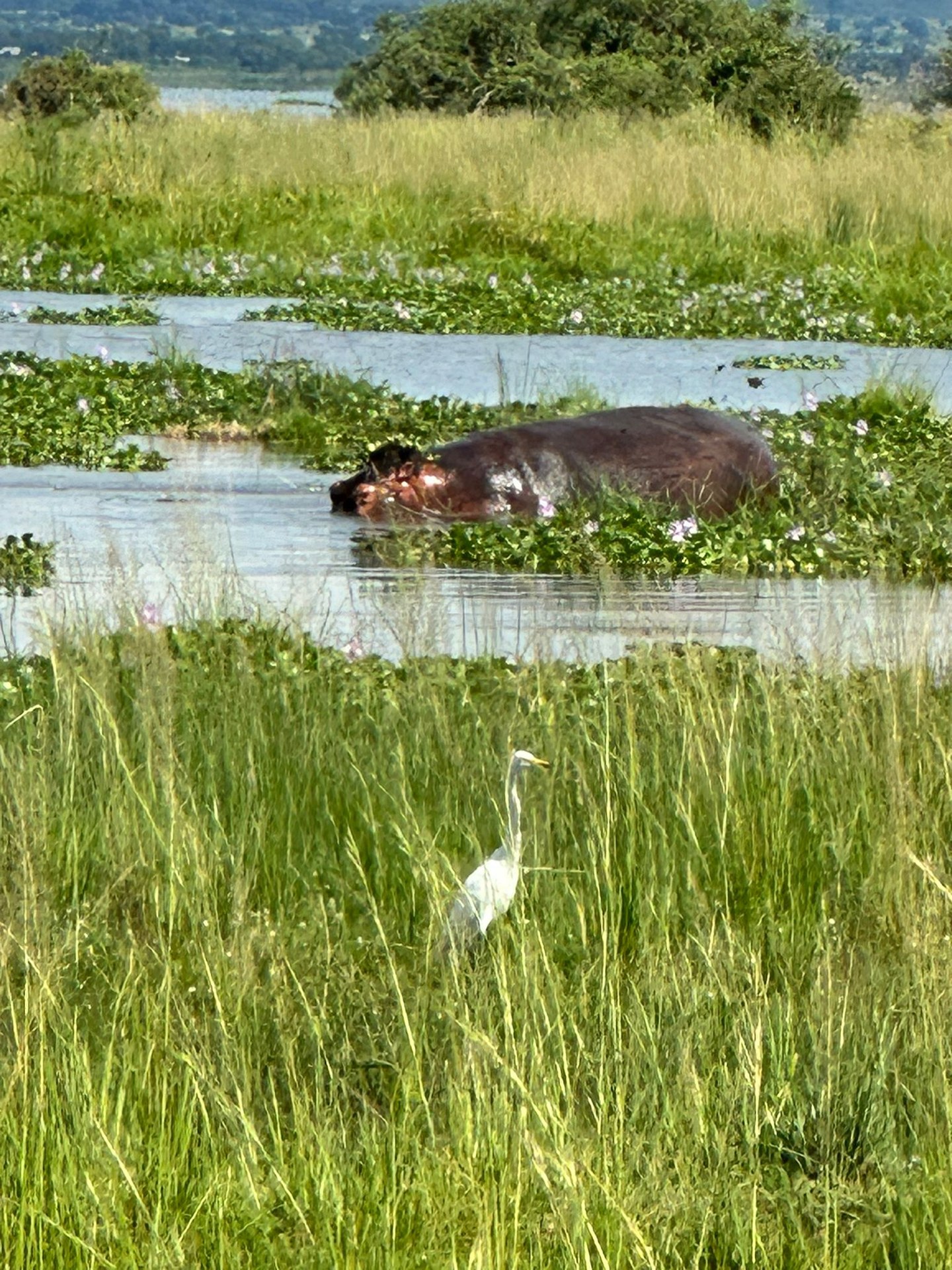
Murchison Falls National Park sits in northwestern Uganda and covers approximately 3,840 square kilometers of savanna, woodland, riverine forest, and wetland — making it the largest protected area in the country. At its heart, the Victoria Nile forces itself through a seven-meter gap in the Rift Valley escarpment to produce Murchison Falls, one of the most powerful waterfalls on earth. That same river, and the mosaic of habitats it sustains, is the foundation of a bird diversity that places the park among Uganda's most important ornithological sites.
A Uganda Wildlife Authority monitoring survey carried out in 2019 assessed bird populations across 11 distinct habitat zones within the park. The survey was part of a wider national effort to establish standardized baselines for wildlife populations across Uganda's protected area network. Covering habitats as different as dense Falls Woodland and open Palm Savanna, it produced one of the most detailed multi-habitat bird datasets available for Murchison Falls National Park. During visits to the park in October 2024 and again in January and May 2026, the ecological variety evident across even a single day's drive through the park made clear why a multi-zone survey approach was necessary to do justice to the avian community here.
The 2019 Monitoring Survey: Eleven Zones, One Park
Systematic bird monitoring requires more than walking a single trail and counting whatever appears. In a park as ecologically varied as Murchison Falls, a transect that covers only one habitat type will miss the majority of species present in the park as a whole. The 2019 UWA survey addressed this by identifying 11 separate habitat zones as distinct monitoring units, each with its own characteristic vegetation structure and associated bird community. Named zones included Chobe Terminalia, Acacia, Falls Woodland, and Palm Savanna, reflecting the dominant plant species or landscape feature that defines each unit.
This zone-by-zone methodology captures the full range of the park's ecological conditions. A bird recorded in the Falls Woodland may never appear in the open Acacia zone three kilometers away, and vice versa. By treating each habitat as a separate sampling unit, the survey produces not just a species total for the park as a whole, but a picture of how different bird communities are distributed across the landscape. That information is directly useful for conservation planning, habitat management decisions, and for guiding visitors to the zones most likely to produce the species they are searching for.
Falls Woodland: The Riparian Core
The Falls Woodland zone takes its name from its location in the vicinity of the Murchison Falls themselves. This is one of the most structurally complex habitats in the park: tall riverine trees overhang the Nile gorge, dense shrub layers fill gaps in the canopy, and the permanent moisture from the river and spray zone supports vegetation that persists even during dry-season droughts that reduce surrounding savanna to brown grass. The result is a habitat that functions as a refuge for forest-associated species in an otherwise open landscape.
Birds in the Falls Woodland zone include species more commonly associated with East African riverine and lowland forest than with the open savanna dominant across most of the park. Hornbills, turacos, and canopy warblers occupy the upper strata while kingfishers and herons work the river margins immediately below the falls. The noise and spray of the falls themselves create a microclimate that influences which species settle in the immediate vicinity. A morning spent in this zone typically produces a bird list that looks nothing like what a visitor records on the open plains north of the Nile.
Chobe Terminalia and Acacia Zones: Open-Country Specialists
Moving away from the river, the vegetation changes markedly. The Chobe Terminalia zone — named for the Terminalia trees that characterize this woodland — occupies an intermediate position between riverine forest and open grassland. Terminalia-dominated woodland is a widespread habitat type in African savannas and supports a distinct bird community: bee-eaters nest colonially in earth banks nearby, rollers use exposed branches as lookout posts, and a variety of starlings and weavers move through the tree canopy. The open structure of the woodland gives birders sight lines that the Falls Woodland rarely offers.
The Acacia zone represents the park's drier, more open woodland character. Acacia trees and their associated understorey support raptors including several eagle species that perch in the canopy and scan the ground below. Ground-feeding species — francolins, coursers, and various larks — work the areas between trees. The longer grass of the wet season conceals some of these birds effectively, while the shorter, drier vegetation of the dry season makes them substantially easier to locate. Both zones reward slow driving with regular stops rather than continuous movement through the landscape.
Palm Savanna: Twenty Species in a Distinctive Landscape
The Palm Savanna zone is one of the more visually distinctive habitats in Murchison Falls National Park. Borassus palms stand above an open grassland matrix, their tall silhouettes visible across considerable distances and their fruits a food source for several large mammal species. The 2019 monitoring survey recorded 20 bird species in the Palm Savanna zone, a figure that reflects the more limited structural complexity of this habitat compared to the riverine and woodland zones.
Those 20 species, however, include some of the most conspicuous and reliably observed birds in the park. Open-country raptors including the Bateleur and various harrier species quarter the grassland. Palm-nut vultures, as their name suggests, are closely associated with Borassus palms and are a near-certain sighting in any habitat where the palms are present. Wattled starlings, yellow-billed storks, and grey crowned cranes use the open grassland during wet periods. The Palm Savanna zone offers the kind of visibility that lets observers identify a bird perched 200 meters away — a very different experience from forest birding but no less productive for the species communities it supports.
The Nile as a Birding Corridor
Cutting through the full length of the park, the Victoria Nile is more than a dramatic landscape feature. It functions as the primary ecological corridor connecting the 11 monitored habitat zones and as a birding destination in its own right. Boat trips on the Nile between the park launch site and the base of Murchison Falls are a standard activity for visitors, and they expose observers to a waterbird community that cannot be accessed from land.
African skimmers nest on sandbanks in the Nile and are best observed from the river itself. Goliath herons — the largest heron species in the world — stand motionless in shallows along the banks. Open- billed storks and yellow-billed storks feed in groups during the wet season. The Shoebill, one of Africa's most sought-after species, occupies papyrus and wetland margins in the park's delta area near Lake Albert, outside the main game-viewing circuit but accessible with a dedicated early-morning excursion. Ambassadors and dignitaries visiting Uganda regularly include Murchison Falls on their itineraries: Sasamaya Takuwa, then Ambassador of Japan to Uganda, was among those who visited the park during this period, reflecting the international recognition the park receives as a natural landmark.
Planning a Birding Visit to Murchison Falls
A productive birding visit to Murchison Falls National Park requires at minimum two full days, and three or more days allow a visitor to work through all the main habitat types without rushing. The standard approach is to spend mornings in the field during peak bird activity and use the midday heat for rest, then return for an afternoon game drive or boat trip as temperatures drop. The boat trip on the Nile is best taken in the afternoon when light falls on the northern bank and illuminates birds resting on the vegetation.
The park's road network north of the Nile covers the main savanna zones, while the south bank is less developed and sees fewer vehicles. Serious birders willing to explore on foot with a ranger guide can access riverine and woodland habitats on the south bank that receive minimal visitor pressure. The 11-zone monitoring framework established in the 2019 survey corresponds broadly to the main areas accessible to visitors, and understanding which habitat zone a given road or trail passes through helps set expectations for which species are likely to appear.
Murchison Falls National Park and Bwindi Impenetrable National Park are often treated as separate destinations serving different interests — one for savanna wildlife and the other for gorillas and forest birds. In practice, they are complementary. A Uganda birding itinerary that combines both parks accesses a far broader range of habitats and species than either park can offer alone. The 11 habitat zones documented in the 2019 Murchison Falls survey represent precisely the open-country and riverine diversity that Bwindi's mountain forest cannot provide.