Bwindi as Uganda's Water Tower
Among the many ecological services Bwindi Impenetrable National Park provides, its role as a water catchment stands out as one of the most consequential. Uganda Wildlife Authority's General Management Plan 2014–2023 explicitly lists water catchment as Conservation Value Number 3, recognizing that the park's 321 square kilometres of intact montane forest generate and regulate freshwater flows that reach communities, farms, and wetlands far beyond the park boundary.
Bwindi occupies the eastern rim of the Albertine Rift, the western branch of Africa's Great Rift Valley. This positioning is hydrologically significant. The rift escarpment forces moisture-laden air from the Congo Basin upward, producing the high rainfall and persistent mist that the forest depends on. The same topography channels runoff westward, away from Uganda's interior plateaus and toward the rift valley floor and its chain of lakes. Bwindi is, in effect, a mountain sponge sitting on the edge of the rift, collecting water and releasing it slowly into river systems that drain a vast lowland territory.
The altitude range within the park — from 1,160 metres near the valley floors to 2,607 metres at the highest peaks — creates a steep gradient that drives river energy and ensures year-round flow even during Uganda's dry seasons. This elevation difference, compressed into a relatively small area, makes the park a disproportionately powerful water source relative to its size.
The Five Rivers
Five major rivers have their headwaters within Bwindi's boundaries: the Ishasha, Ntungwe, Mubwindi, Kivu, and Kanyamahane. Each begins as a network of small streams collecting rainfall and mist-drip from the forest canopy, gradually combining as they descend the rift escarpment. By the time they leave the forest they are substantial waterways capable of flooding low-lying ground in the wet season.
The altitude gradient from 2,607 metres down to the rift valley floor — which lies at roughly 900 metres above sea level — gives these rivers considerable kinetic energy. They cut deep valleys into the hillsides, creating the dramatic topography visible from any ridgeline trail. The steep gradient also means that water from a rain event high on Bwindi's slopes can reach low-lying farms and wetlands within hours, amplifying both the benefit of steady forest-filtered flow and the potential damage from flood events if forest cover is lost.
Seasonal flow patterns reflect Uganda's bimodal rainfall calendar, with peak flows in March to May and October to November. During these periods the rivers run fast and turbid with natural organic material. In the drier months of June to August and December to February, flow decreases but does not stop, because the forest's deep organic soils act as a reservoir, releasing stored water gradually. This dry-season base flow is what communities and downstream ecosystems depend on most critically.
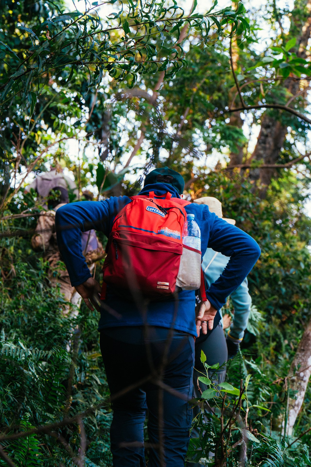
Gorilla trekking in Bwindi: the path through the rainforest
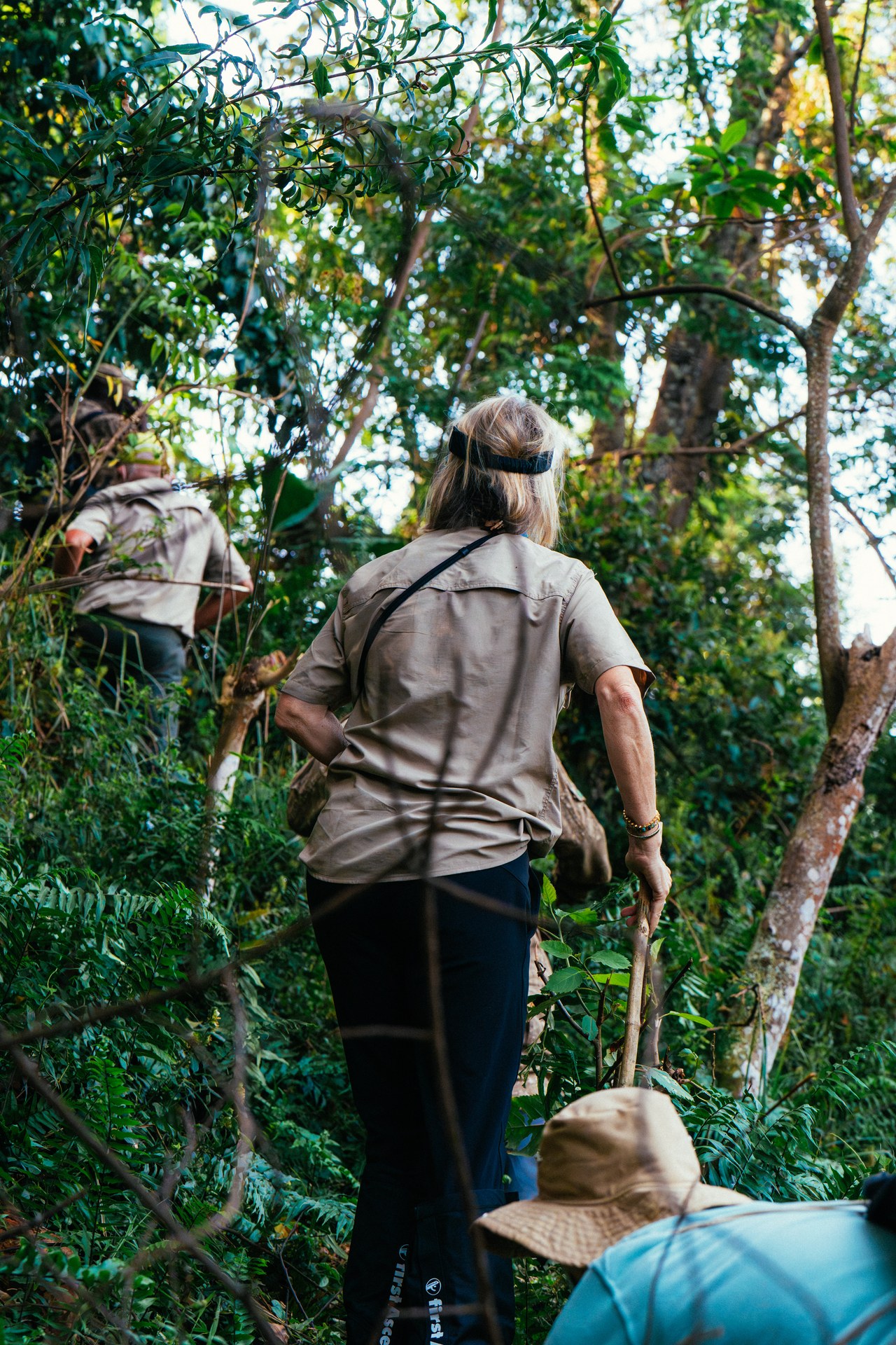
Through Bwindi forest on the trail of gorillas
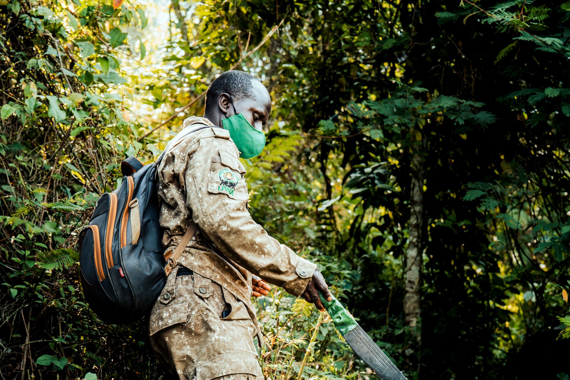
Ranger in Bwindi forest on the way to the gorillas
Lake Edward: The Destination
All five of Bwindi's major rivers ultimately drain into Lake Edward, the second largest lake in Uganda and one of the key lakes of the Albertine Rift system. Lake Edward straddles the international border between Uganda and the Democratic Republic of Congo, with its northern shore in Uganda's Queen Elizabeth National Park and its western and southern shores in DRC's Virunga National Park. The lake covers approximately 2,325 square kilometres and sits at an altitude of around 912 metres above sea level.
The lake supports exceptionally high biodiversity, including a diverse assemblage of cichlid fish, hippopotamus populations, and numerous waterbird species. It is connected to Lake George to the north via the Kazinga Channel, creating a linked aquatic system of regional ecological significance. Nile perch and tilapia support commercial fishing industries on both the Ugandan and Congolese shores, and fishing communities have depended on the lake for generations.
The clean, forest-filtered water that Bwindi's rivers deliver to Lake Edward is not a minor contribution. Forest catchments produce water with low sediment loads and relatively stable temperatures and chemistry. This quality matters for aquatic biodiversity and for the communities that drink and fish from the lake. Rivers originating from degraded or deforested catchments carry heavy sediment, elevated nutrient loads from agricultural runoff, and less predictable flow patterns — conditions that degrade lake ecosystems over time.
What the Forest Does for Water
The mechanism by which Bwindi generates and regulates water is rooted in the physical structure of intact montane forest. The multi-layered canopy — from emergent trees at 40 metres to shrubs and ground herbs — intercepts rainfall before it reaches the soil. Some of this intercepted water evaporates, moderating total runoff, while the rest drips slowly to the ground, reducing the impact energy of raindrops and preventing surface erosion. In the persistent mist that characterizes Bwindi's upper slopes, the canopy actually strips water from clouds passing through, a process called horizontal precipitation or occult precipitation, effectively generating water that would not otherwise reach the ground.
Below the canopy, the forest floor is a deep accumulation of organic matter — leaf litter, decaying wood, and fungal networks — overlying mineral soil rich in root channels and animal burrows. This porous structure absorbs rainfall at rates far higher than bare or farmed land. Water infiltrates deeply, recharging groundwater reserves that feed springs and maintain river base flow through dry periods. The forest is, in technical terms, the most effective natural mechanism available for converting intermittent rainfall into reliable, year-round river flow.
More than 500,000 people live in the parishes surrounding Bwindi. Many of these communities draw water from streams and springs fed by Bwindi's catchment. Farmers rely on seasonal flooding to enrich riverside soils and on year-round flows for livestock watering. The loss of this water regulation function through deforestation would not be a distant or abstract harm — it would arrive rapidly in the form of dry springs, collapsed harvests, and communities forced to walk further for water of lower quality.
Threats to the Watershed
Despite its protected status, Bwindi's watershed function faces genuine pressure. Agriculture has expanded to the park boundary in most sectors, eliminating the buffer zone that once existed between the forest edge and cultivated land. Without this transition zone, rain falling on farms immediately adjacent to the park generates rapid surface runoff that can erode and destabilize stream banks inside the forest, increasing sediment loads in headwater streams even before any encroachment into the park itself occurs.
Artisanal and small-scale mining presents a more direct threat to water systems in and around Bwindi. The park's General Management Plan identifies mining for wolfram, gold, and iron ore as one of the key management challenges. Mining operations disturb streambeds, strip vegetation from slope faces, and introduce suspended sediment into watercourses at rates that overwhelm the natural filtering capacity of the remaining forest. In areas where mining occurs near or within the park boundary, water quality impacts can reach communities and aquatic habitats far downstream within a single rainy season.
Boundary clarity is itself a management challenge: unclear or unmarked boundaries in sections including the Mbwa tract and Bujengwe have historically made it difficult to prevent both agricultural encroachment and illegal resource extraction. The General Management Plan includes planned actions to plant live boundary markers, negotiate boundary agreements with adjacent communities, and acquire buffer land around vulnerable areas — measures that would directly protect the hydrological function of the park's edge habitats.
For Visitors: Experiencing the Water Systems
Visitors to Bwindi encounter the park's water systems directly on almost any guided walk. The Buhoma sector, on the park's northern boundary, offers trails that follow river valley corridors where the gradient flattens and moisture is most intense. In these valleys the air is noticeably cooler and damper, the vegetation denser, and the sounds of running water a constant background. Your guide can point out where the river has cut through rock to reveal the geology beneath, or where hippo trails in the riverbank grass indicate regular use by wildlife from the park interior.
On ridge sections of the forest trails, especially in the morning, visitors can observe mist interception directly: droplets condensing on leaves and falling as a fine rain even when no cloud is visibly overhead. This is the occult precipitation process at work, and it is one of the more visually striking demonstrations of how the forest creates its own water supply. A single large tree in Bwindi's upper canopy can intercept and redirect hundreds of litres of water per day during periods of heavy mist.
The connection between the forest you are walking through and the water used by hundreds of thousands of people downstream is not abstract — it is immediate and measurable. Understanding Bwindi as a water infrastructure project as much as a wildlife reserve changes how the park's conservation mission reads. Protecting the gorillas and protecting the water supply for southwestern Uganda are, in this landscape, the same work.