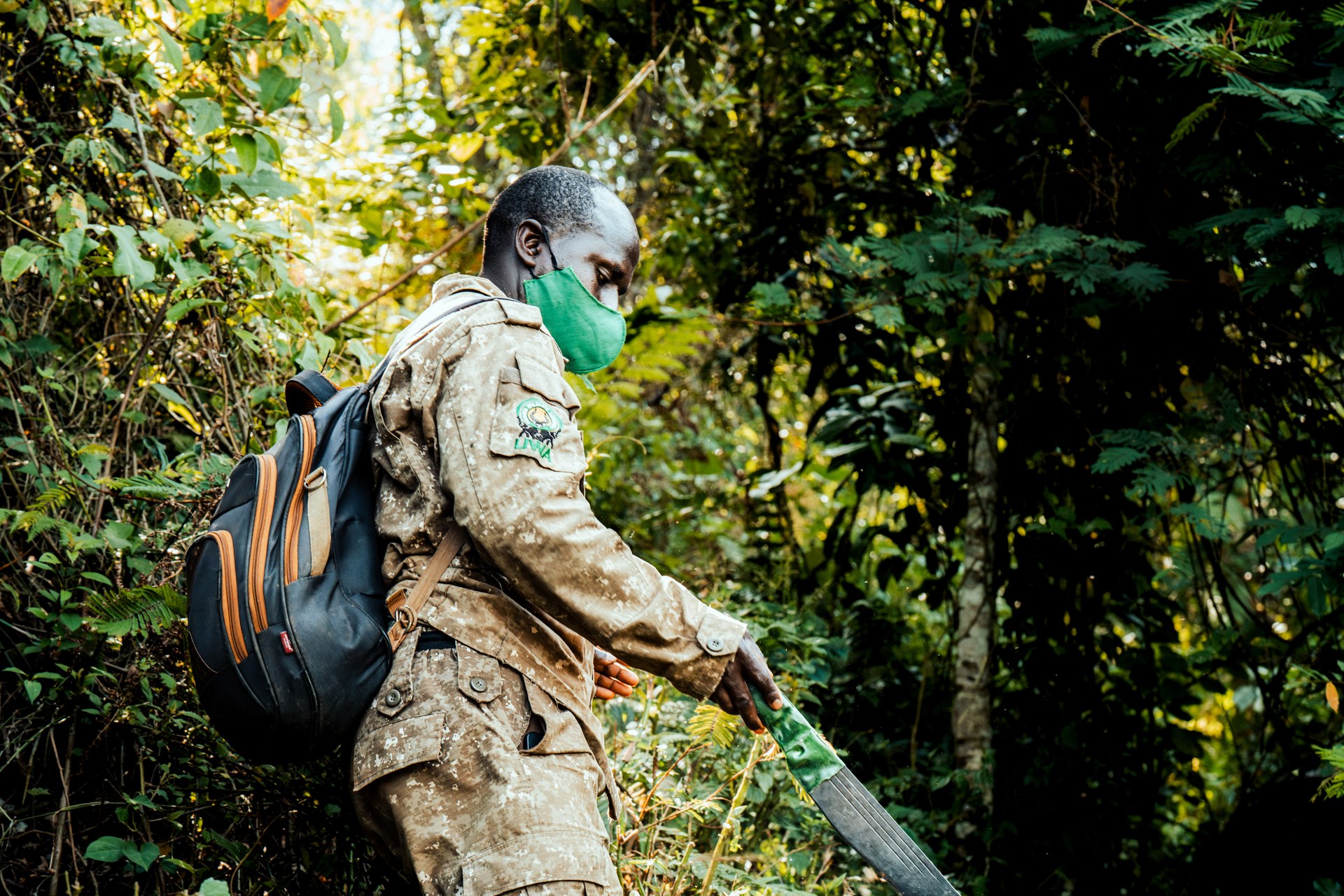
The Number That Tells a Story
When conservation researchers examine district-level planning documents across Uganda, they occasionally encounter figures that stop them short. Alebtong District in northern Uganda is one such case. According to district planning data, less than half a percent — 0.4% — of the district's total land area is designated for recreation and conservation. That figure is not a rounding error or a data gap. It is a precise expression of a structural reality: in Alebtong, the land that sustains human life and the land set aside for biodiversity are almost entirely the same territory, with no meaningful separation between them.
Understanding what that number means — and why it exists — requires stepping back from the headline statistic and looking at the forces that have shaped northern Uganda's landscape over the past century.
How Uganda's Protected Area Network Was Built
Uganda's national conservation framework distinguishes between several categories of protected land. National parks represent the highest level of formal protection, managed by the Uganda Wildlife Authority (UWA) with strict limits on human settlement and resource extraction. Game reserves and game-controlled areas offer intermediate protection, permitting some regulated activities. Central forest reserves, administered by the National Forestry Authority, protect forested land primarily for watershed services and timber management, while also sheltering a remarkable diversity of birds, mammals, and plants. Museums and cultural sites round out the legal framework.
None of these designations has a significant footprint in Alebtong. The district sits in the Lango sub-region, a vast agricultural zone dominated by smallholder farming, livestock grazing, and subsistence-oriented land use. There are no gazetted national parks within its boundaries, no game reserves, and no substantial forest reserves. The 0.4% figure represents what little remains of formally protected or managed land — small fragments that have not yet been fully absorbed into the agricultural frontier.
The South–North Divide in Conservation
The disparity between Alebtong and districts in southern Uganda is not accidental. It reflects decades of uneven institutional investment and differing ecological endowments. Southwestern Uganda was identified as a conservation priority early in the colonial period, and this designation attracted resources, legal frameworks, and enforcement capacity that were largely absent in the north. Bwindi Impenetrable National Park, gazetted in its modern form in 1991 but protected as a forest reserve since 1932, exemplifies this trajectory. Lake Mburo National Park, established in 1983, Queen Elizabeth National Park, and the network of central forest reserves in the west and southwest collectively ensure that large portions of those regions remain under formal protection.
Uganda as a whole protects approximately 14% of its total land area through national parks, forest reserves, and other designated zones. That national average masks the profound regional imbalances beneath it. Districts in the southwest may have conservation coverage many times higher than the national mean, while districts like Alebtong pull the average down from the other end of the scale. The wildlife and biodiversity that once existed across northern Uganda's savannas and wetlands have diminished accordingly.
The Legacy of Conflict and Institutional Failure
Northern Uganda spent most of the 1980s and 1990s — and into the 2000s — in a state of armed conflict. The disruption this caused to conservation institutions was severe. Ranger networks collapsed, game department infrastructure was destroyed or abandoned, and wildlife populations that had survived earlier periods of poaching pressure were hunted with minimal restraint during the years of instability. By the time peace returned to the region, the conservation baseline had shifted dramatically. Animals that might once have formed the nucleus of a recovery were largely gone, and the institutional memory needed to manage them had been scattered or lost.
Even in areas of Uganda that were not directly affected by conflict, the history of the Game Department illustrates the fragility of wildlife conservation outside the national park system. During the 1970s and early 1980s, the Game Department's chronic underfunding meant that game reserves and controlled areas received almost no effective management. Wildlife populations in those areas collapsed. The Uganda National Parks system, which was allowed to generate and retain its own revenue, fared better — but that advantage applied primarily to the established southern parks, not to the landscapes of the north.
What Conservation Monitoring Looks Like Where It Exists
In Uganda's well-resourced national parks, conservation management has become increasingly technology-driven. EarthRanger, a platform developed specifically for wildlife and protected area management, is deployed across several Ugandan parks, enabling real-time tracking of ranger patrols, wildlife incidents, and security events. The SMART System — Spatial Monitoring and Reporting Tool — records patrol data in the field and produces analytical reports that help managers identify poaching hotspots, assess patrol coverage, and allocate resources more effectively.
These tools represent a significant advancement in conservation effectiveness. In Bwindi Impenetrable National Park, the combination of systematic patrol data, veterinary monitoring, and community intelligence has contributed to a mountain gorilla population that has grown steadily since the early 1990s. But EarthRanger and SMART require functioning protected areas — ranger stations, defined boundaries, patrol routes, and management authority — before they can be applied. In Alebtong, where 0.4% of the land falls under any form of conservation designation, the preconditions for deploying such systems do not exist.
What a Biodiversity Deficit Means in Practice
The phrase “biodiversity deficit” can sound abstract, but its consequences are tangible. In a district where almost all land is under agriculture or settlement, wildlife has nowhere to go when habitats are disturbed. There are no corridors connecting remnant populations, no refuges where animals can breed undisturbed, and no buffer zones separating wildlife from human activity. Species that require forest, wetland, or grassland habitats of any significant extent simply cannot persist under these conditions.
For local communities, the loss of biodiversity is not merely an ecological abstraction. Wetlands regulate water flow and reduce flood damage. Forested land protects soil from erosion and moderates local temperatures. Wild pollinators support agricultural productivity. When these ecosystem services erode because no land is set aside for natural systems, the consequences eventually reach the people who depend on the land for their livelihoods. The connection between conservation coverage and human well-being is rarely linear or immediate, but over the long run it is difficult to separate them.
The Broader Challenge for Uganda's Conservation Agenda
Uganda's national conservation strategy recognizes the need to protect biodiversity across the landscape, not only within the boundaries of flagship national parks. The National Status of the Environment Report highlights government investment in securing protected area boundaries, managing encroachment, and strengthening wildlife governance in established parks. These are genuine achievements. The difficult question is how to extend conservation benefits to districts like Alebtong, where the institutional infrastructure and economic incentives for conservation have not taken root.
The State of Wildlife Resources in Uganda 2026 report acknowledges that habitat loss and fragmentation have significantly diminished wildlife both within and outside protected areas. Infrastructure development, agricultural expansion, and human settlement continue to reduce the quality and connectivity of available habitats. In northern Uganda, where the starting point is already as low as 0.4% protected coverage, any further reduction brings the region closer to a landscape that can support only the most adaptable and generalist species.
Several years of field visits across Uganda, including multiple trips to Bwindi Impenetrable National Park and its surrounding landscape, make clear how decisive the presence of well-managed protected areas is for wildlife survival. Where boundaries are clearly defined and enforced, where communities share in conservation revenues, and where management institutions have the authority and resources to act, wildlife recovers. Where those conditions are absent, the decline continues, largely unnoticed, until the baseline shifts so far that recovery becomes nearly impossible.
[QUOTE: local guide on first impressions of Alebtong's landscape compared to the forests of the southwest]
The 0.4% figure for Alebtong is not a reason for despair, but it is a reason for urgency. Uganda has demonstrated, repeatedly and in demanding conditions, that conservation can succeed when the right institutions, incentives, and community relationships are in place. The challenge is extending those lessons from the protected landscapes of the south to the underserved districts of the north, before the window for meaningful intervention closes.
Frequently Asked Questions
Related Articles
Gorilla Conservation Overview
Protected Areas in Uganda
Central Forest Reserves in Uganda
Wildlife Monitoring in Bwindi
Conservation History
Boundary Management at Bwindi
Conservation and Ecotourism in Uganda
Endangered Species in Uganda